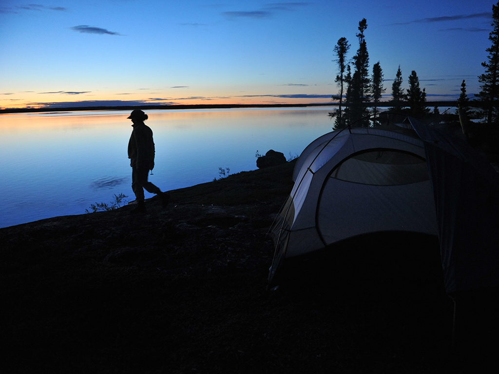
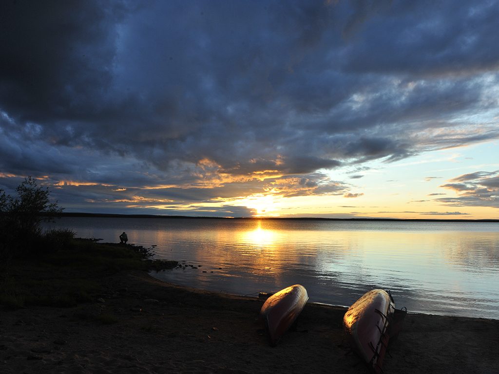
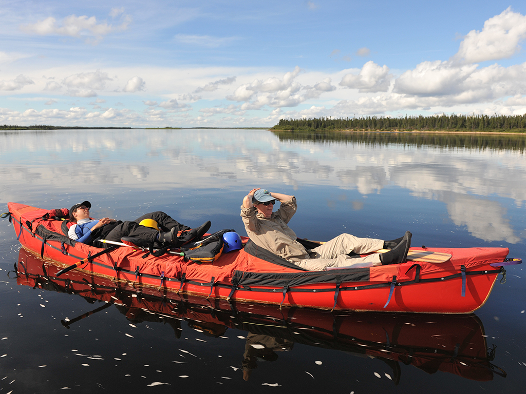
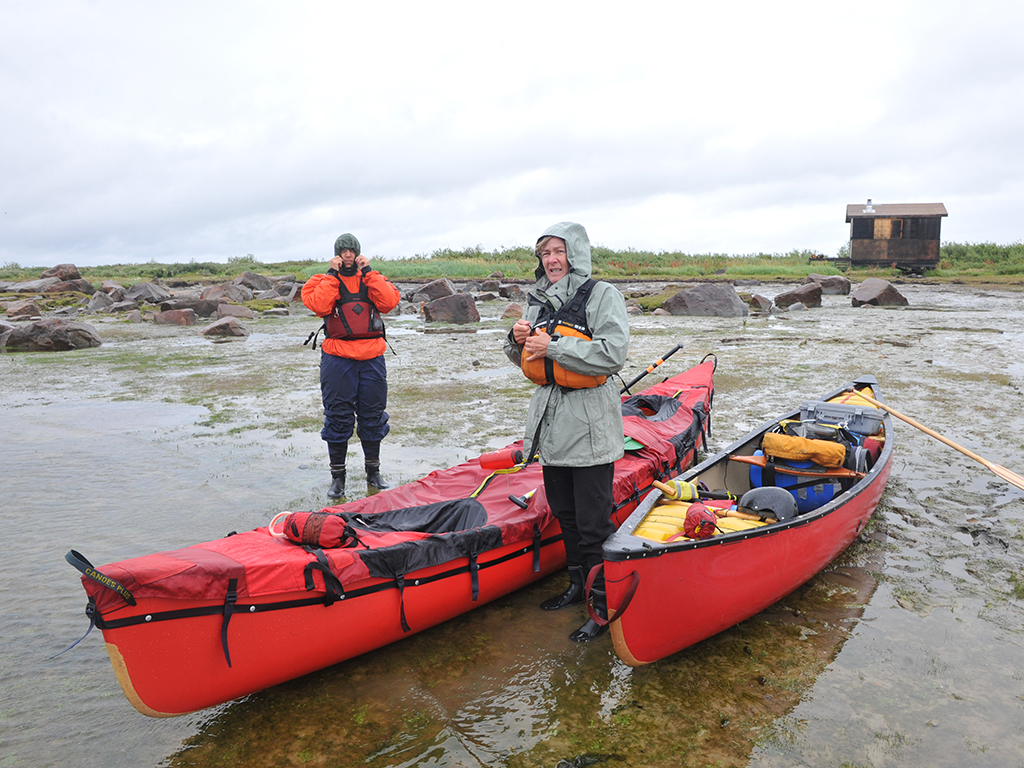
The new day looked promising with a ribbon of orange sun stretched across the western Hudson Bay horizon that seemed to nudge on a veil of indigo clouds above us. But as we set out on the final day of a canoe trip down northern Manitoba’s Seal River, a cold late-August wind picked up from the east and a drizzle began to fall, which soon turned to rain. My water-soaked body shivered with the onset of hypothermia as we hurried down the frigid rushing waters, scanning our gray surroundings for polar bears.
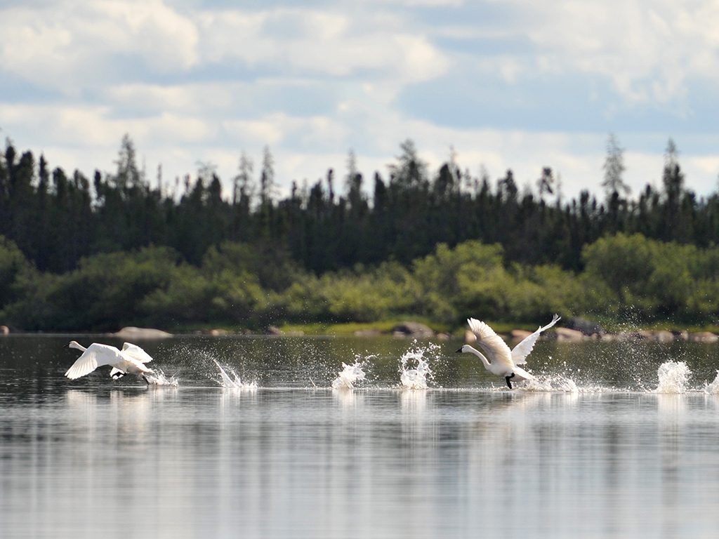
The previous night had been hellish enough on a tundra island campsite, trying to wolf down dinner as we ran insanely around the tiny island in vain to escape the torment of mosquitoes. Sleep didn’t come easily either. With the presence of bears extremely likely, every little sound intensified. As the sunset faded outside the tent, I was sure I heard one crossing the small rapids nearby and coming our way. Later that night, I was awakened by a loud splash, only to realize a Tundra swan was thrashing in the water. I remember my hand slipping down towards the cold steel reassurance of the shotgun by my side as I lay there hoping to see sunrise in one piece.
After two weeks on the river, I was beginning to understand what 17th century Arctic explorer Samuel Hearne endured during his travels up and down this river and beyond in the search of the legendary Coppermine River and Northwest Passage. Hearne had seen these waters on three journeys inland within three years and travelled more than 5,000 kilometres to finish the quest, mostly by foot, sometimes by canoe, occasionally with no dry clothes or tent. With a copy of his detailed journals that captivated us throughout our trip, we came to know this river and the unstoppable British explorer who was the first European to travel overland to the Arctic Ocean and mapped a good chunk of Canada’s Western Arctic in the process.
The Seal isn’t for inexperienced paddlers. Only a couple dozen people venture on its waters between July and August each year. Extremely isolated, “boisterous and changeable” weather as Hearne modestly described, and the good chance of running into polar bears on the coast make this trip one that needs meticulous planning. Unlike Hearne, who arrived back in Prince of Wales Fort from his first expedition and headed out a mere five weeks later, in winter of all seasons, I began researching and organizing for our trip more than a year in advance.
The wide and powerful river may pose many challenges but it also has many attributes – a wide variety of flora and fauna, intriguing geographical features left behind by glacial activity, plenty of whitewater to paddle, and no portages to deal with. It’s also the northernmost and only completely undammed and undeveloped of Manitoba’s four major river systems, which is one reason it was designated a Canadian Heritage River in 1992.
With the nearest road 275 kilometres southwest, the Seal can only be reached by float plane or by canoe and portage. Aside from the town of Churchill, which lies 45 kilometres southeast from the river’s mouth on the Hudson Bay coast, the nearest community is Tadoule, a Dene First Nation settlement of about 325 people situated on the west side of Tadoule Lake. The fly-in only community is a starting point for some people but it’s a laborious, though very scenic, 75-kilometre paddle east across the large shallow and often windy lakes of Tadoule, Negassa where we put in, and Shethanei to the start of the river.
Descendants of the Dene began trapping and hunting in the area about 7,000 years ago. One of the main attractions for them was the caribou that winter in the area but for us it was the harbour seals that swim upriver for more than 200 kilometres in search of fish and seeing them was a surreal experience. Once we were out of the lakes and onto the river, a day wouldn’t pass without us coming up to some of the skittish creatures lazing on rocks with tails in the air before they reluctantly scrambled into the water. A few were curious enough to follow our canoes for several kilometres.
From Shethanei Lake, the river cuts east for 240 kilometres through Precambrian Shield boreal forest, passing massive sand-topped eskers that dominate the landscape as they rise above stands of black spruce. Soon after, the river speeds up to form rapids and gorges around Great Island before entering a sparsely-treed subarctic world of heath and tundra dubbed “Land of the Little Sticks” by the Dene.
The last stretch flows through open tundra of the Hudson Bay Lowlands over long boulder fields and around a maze of islands until it pours into Hudson Bay. The river’s wide estuary is the feeding and calving grounds for several thousand beluga whales in summer, part of a 57,000 strong Western Hudson Bay concentration that is the largest in the world.
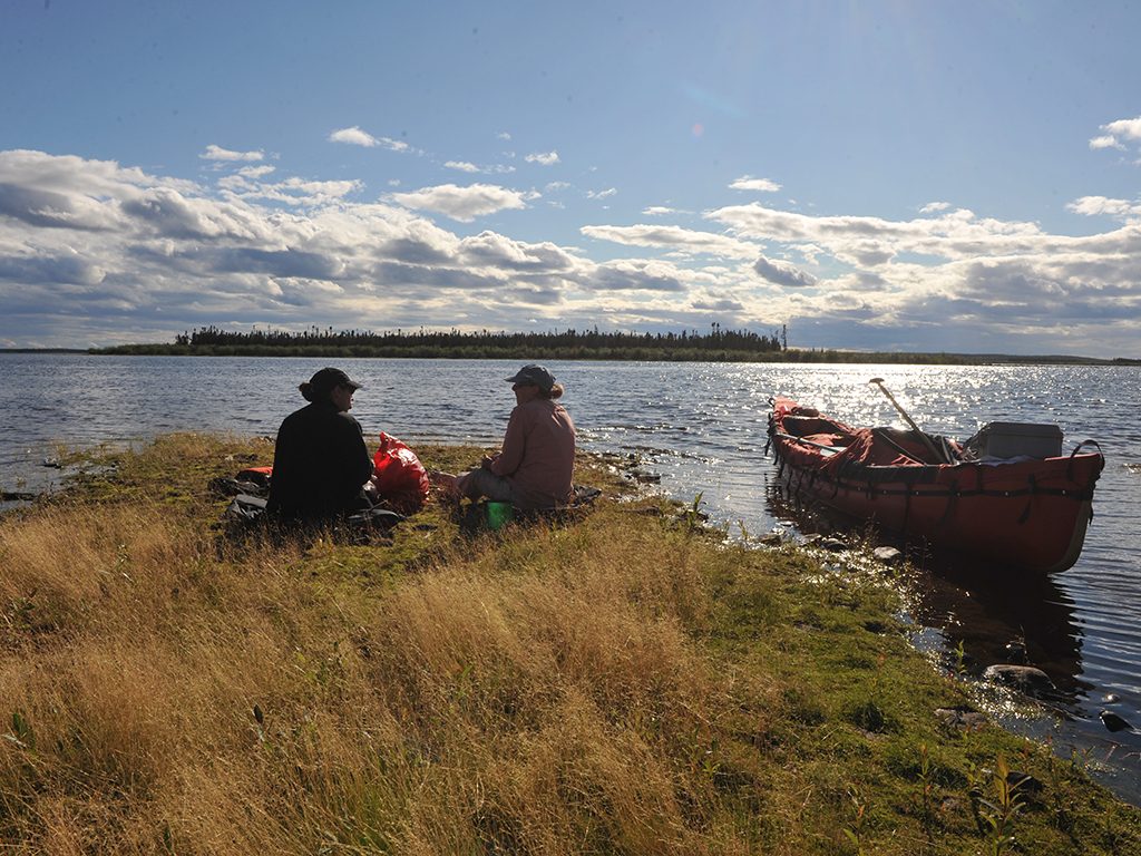
Since the river is so remote, a well-stocked First Aid Kit and a satellite phone were high up on the list of gear to bring and gave our small but experienced river running party – me in a solo canoe, and my wife Marilyn and our good friend Ruth paddling a tandem one – a small measure of security. A sobering event occurred several days into the trip when our boats got separated in strong winds and choppy water among a group of islands and we eventually lost sight of each other. After nearly a half hour of paddling, we were relieved to finally meet up and vowed, not only to always stay close, but make sure the food was split between both boats in case we got separated again. Help was too far to not take these kinds of precautions but the reality of where we were also brought some humour, especially when Marilyn and Ruth would do a call-and-response routine and shout to one another, “Where are we? Nowhere! Who are we going to see? Nobody!”
Getting to the Seal River from our homes in Ottawa took some significant energy since it involved several modes of transportation for the most costing-effective way. The plan was to load up our Royalex tripping canoes, seven waterproof barrels and other assorted gear onto a trailer, drive for 35 hours to Thompson, take a float plane to Negassa Lake, paddle 290 kilometres to Hudson Bay, get towed by boat to Churchill, hop on a train for a 17-hour ride to Thompson and drive back home.
It almost went off without a hitch. The highways all the way up to Thompson were in great shape and only took us three days to drive each way, the hour and 40 minute flight in a turbo Twin Beaver over countless lakes and patches of scrubby forest was spectacular, and the train trip may have been a long and monotonous scene of stunted trees but at least it was on time and comfortable thanks to the sleepers we booked.
Things went downhill during the last morning on the river as I was standing on a river outcrop, ironically named Prayer Rock, with the satellite phone pressed to my ear and Marilyn trying to protect me from the rain beating down. The outfitter I arranged to tow us back to Churchill mixed up the dates and was away on a contract job, his wife told me. No one was coming to pick us up.
We were in quite the dilemma but nothing compared to what Hearne faced. At 24 years old, he set out into the Barrens in 1769 from Churchill with two Cree hunters and a band of Chipewyans, trying to make a name for himself when he was commissioned by the Hudson Bay Company to seek copper fields rumoured to be on the Coppermine River and to either find the Northwest Passage or prove that it didn’t exist. The journey lasted five weeks – they struck north from the Seal River but Hearne was forced to return home after being abandoned by his guides who didn’t want to risk starvation due to the lack of game.
Setting out for a second time with a small group of Cree who lived around the Fort and traded services with the Europeans, Hearne followed the Seal River once more and camped at Shethanei Lake for some time before heading north and reaching Dubawnt Lake about 700 kilometres northwest of Churchill. Unfortunately, Hearne’s quadrant broke and without it to take measurements, there was no use going on and he walked back to Churchill once again. Along the way, he met the great Chipewyan chief and negotiator Matonabbee who would guide him on the next expedition.
We weren’t about to hoof it to Churchill as Hearne had done and taking our canoes down the coast was not in the cards for us either since an attempt might be foolhardy. Paddling at low tide with a drop of four metres would mean being dangerously far from shore, unpredictable weather and shallow waters could whip up huge waves, plus there was threat of polar bears all along the coast. The only option was to call the float plane company we used to get us to the river which also has a base in Churchill, and pray that a pilot was available.
Our hearts sunk with the sound of an answering machine clicking in, and I left our phone number and a message that we would try get to a shack on the coast by the afternoon and call back. The outfitter had built it some years ago to help protect his clients from the bears and we were going to take full advantage of it.
 What to bring in defense of the big beasts was a question I pondered for weeks before the trip. Do we bring a rifle or just have bear bangers and bear spray handy? I weighed the arguments – on one hand, being unfamiliar with firearms might present a bigger danger than the bears themselves. I hadn’t fired a gun for 15 years and wasn’t sure I wanted to be responsible for one on the trip. And, could I or would I actually kill a bear if we were threatened? I never felt the need to have one any other time, even after being bluff charged by a grizzly twice in the Yukon, and nearly stepping on a sleeping black bear another time.
On the other hand, polar bears are the only kind that will stalk a human. Even if there are only a handful of cases in which someone has been killed by a polar bear, they always pose a threat. Marilyn settled it and refused to go if we didn’t bring a rifle. Three weeks before our departure, I received my non-restricted gun permit in the mail, borrowed a Remington 12 gauge shotgun and bought two boxes of shells. We also stocked up on the first line of defense – two boxes of bear bangers and two cans of bear spray.
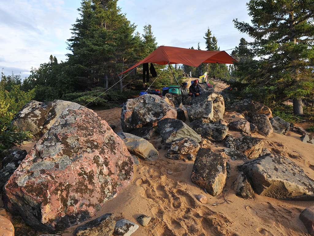
At every campsite area, our bear protection protocol would include looking for any signs of bears before we set up camp and leaving immediately if we found any. Bear spray, bangers, and shotgun were ready and within reach at all times. We would also keep constant watch and make plenty of noise when wandering around, and most importantly, the site was always clean and the food barrels stored away from the tents before bed time.
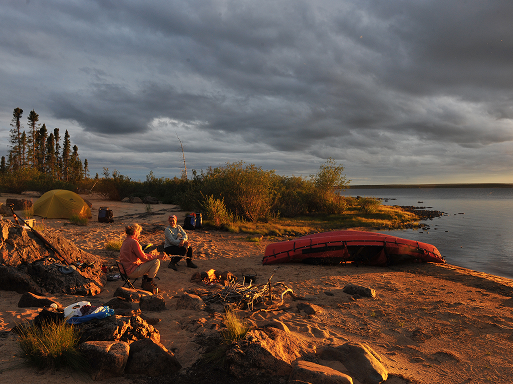
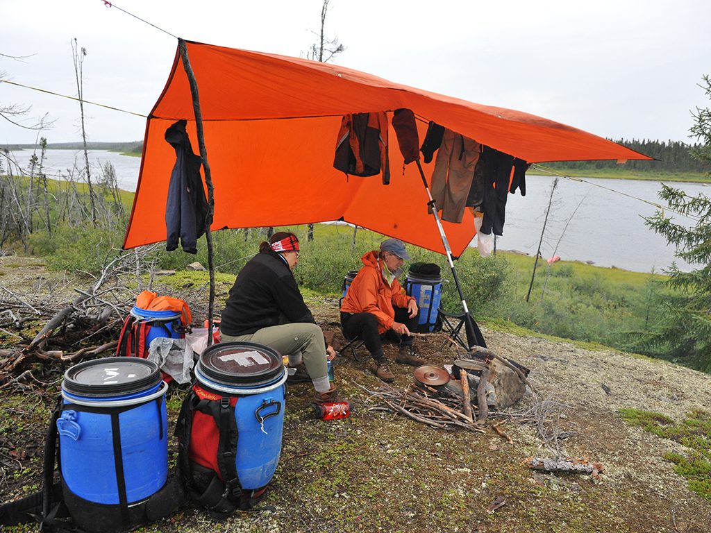
Many of the campsites on the Seal are unforgettable. Sometimes we were forced into survival mode when the weather got bad and find whatever flat safe place there was to erect a tarp, make a fire, and put up our tents in the thin forest of tamarack and spruce. More often, we used sites where ancient fire rings lay that had been favoured by natives and other visitors for hundreds of years. Almost every night, one of us would read a chapter out of Hearne’s journal by a beach-side firelight, high on a soft peat hill, or out on a rock platform under the immense night sky with a rich red sunset on one side as the white moon rose on the other while the rest of us envisioned the explorer’s adventures here nearly 300 years ago.
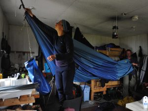 One especially memorable place was an Environment Canada water survey cabin located shortly after Great Island which is formed where the river splits into two channels more than 20 kilometres long. It had been raining solid for 32 hours as we paddled sombrely among the mysterious looking charred remains of a major forest fire in 1994 that engulfed most of the forest on the north shore for more than a 150 kilometres and also jumped the river in places. The generous staff had left the door open and we stayed overnight to dry ourselves and gear, and filled the time by writing in our journals, reading passages from a visitor’s book of canoe trips from past years, and making bannock.
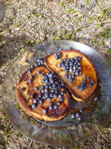
Food was always a priority and a main topic of most conversations. Invariably, one of us would ask what the next meal was before the one we were eating was even finished. Indian curry, chicken pesto, garlic feta pasta and the rest of our dishes were prepared, dehydrated and packaged in double-Ziplocked bags a few months before the trip and we would begin re-hydrating before heading out for the day’s paddle so that they would be ready to heat up by the evening. On the river, we also grew alfalfa sprouts to put on sandwiches and topped French toast with some of the masses of blueberries growing in the forest fire areas and other open places.
 Hearne was more adventurous with food on his travels with native people. He describes eating blood mixed with the half-digested contents from a deer’s stomach which is boiled in it with fat chewed by the men and boys of the families. He also recalls sitting down with others and eating an entire freshly killed muskox or deer raw on more than one occasion. Other times, Hearne and his traveling companions didn’t eat for a full week and would resort to gnawing on their leather shoes or any other piece of leather they could find.
His journals describe in vivid detail the life of the native people in his day and most of the time it was of dire hardship from lack of food. That was understandable, since we didn’t see a single land mammal on the entire river. There were lots of tracks from black bears, wolves and moose and quite the variety of bird life, including bald eagles, sandpipers, Canadian geese, and various species of ducks, but nothing you could really sink your teeth into. We would have had to survive for two weeks on berries and try to catch lake trout, grayling, and northern pike or kill a seal, had we been in Hearne’s shoes. Over many years of river trips, I’ve learned that just because you are in wilderness doesn’t mean you will see any wildlife. On some rivers, there can be animals all over the place but many times I haven’t seen a thing.
The cold worked its way into my bones but the thought of a warm shack somewhere ahead on the coast kept me going as we steered down the powerful river, stopping occasionally to study the topographical map before trying to pick out the best current to take us through the widening mouth of confusing islands. The river got stronger with every stroke of our blades; bracing, drawing, and prying through the white water until the roar of the ominous Deaf Rapids came into earshot. We scouted our last obstacle to the bay from land, two hundred metres of some of the biggest boat-crushing rollers I have seen on any river, and then gingerly hugged the left shore with our canoes to avoid the demon-infested waves.
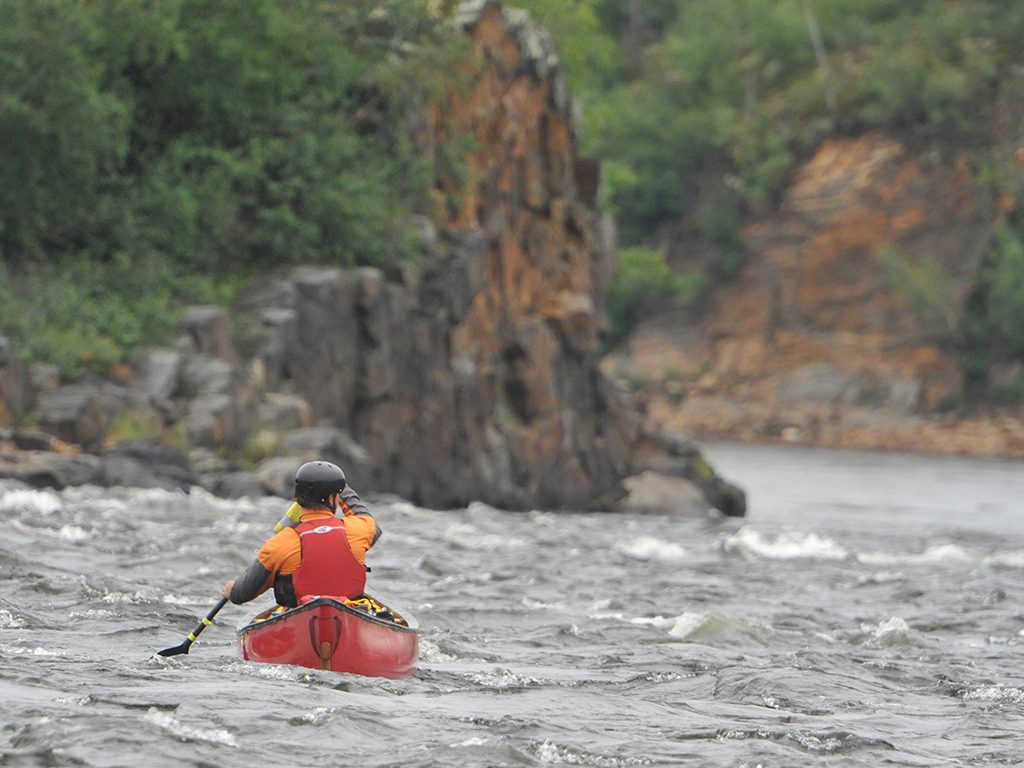
Though there are more than 40 sets of rapids throughout the river, only Deaf Rapids was as big as we had read about. Most were comprised of large waves, easily handled by the solo canoe and the tandem covered with a spray deck, and not very technical which was a little disappointing from an adrenaline-rush point of view but a relief on a safety level. Nevertheless, the last 40 kilometres of the river gave us a great thrill with one set of near continuous whitewater lasting 15 kilometres and the final 10 kilometres filled with rapids of all class levels.
After 13 remarkable days we had reached the barren coast by early afternoon and slowly made our way to the exposed and puny weather-beaten shack. The canoes slid into a muddy expanse of shoreline and we trudged up, all the while keeping a sharp eye out for any signs of bears which could be anywhere and everywhere. A 6×8 piece of plywood with dozens of nails protruding upward lay in front of the door and the two side windows were locked tight with thick wooden shutters. Inside stood a beat-up plywood bed, rusty barrel stove, two broken chairs and a spray of shotgun shells spilling out over a rickety table. We looked at each other and hoped we didn’t have to stay the night. Marilyn pulled out the satellite phone and called the floatplane base. A welcoming voice answered.
It was the pilot. She introduced herself as Ursula and wasted no time telling us we would have to leave right away and paddle five kilometres up the coast to the Seal River Heritage Lodge to meet her. The float plane couldn’t land safely where we were at the mouth of the river. A storm front was coming in with potential winds of up to 60 km/h, the tide was beginning to go out, and there were bears everywhere.
Not the news we were hoping for. The three of us were cold, tired, and hungry since all we had eaten so far were a couple of trail bars and a peanut butter wrap each. None of us was in the mood to venture out so soon from what little protection the shack gave us onto the cold unknown waters of Hudson Bay but there was no choice.
We scrambled to get into dry clothes, packed up and made a quick camp stove pot of mushroom soup to help get us there. The waves bashed the canoes around as we headed out, making it extremely difficult to navigate through a minefield of boulders hidden just below the shallow salty water. I could see the lodge from the start but it didn’t seem to get any closer as Marilyn and Ruth slowly paddled further ahead. The solo boat was incredibly hard to steer in the wind and whitecaps but at least it had finally stopped raining. Two punishing hours later and exhausted, we were nearly at the lodge when a floatplane came into view, banked and buzzed in salute and then landed inland behind the lodge.
My finally canoe touched the shore near some big fresh piles of polar bear scat among the rocks and I was greeted by my smiling paddling partners and two other friendly faces, our pilot Ursula and Terry, a guide from the lodge with an ATV and trailer. The place had just closed for the summer the day before and, luckily for us, Terry was there alone for two weeks in preparation for the peak polar bear watching season in October and November. Armed with a rifle and an assortment of anti-bear devices hanging from his waist belt, the five-year veteran polar bear guide generously began shuttling our boats and barrels to the float plane landing on a small lake a kilometre away.
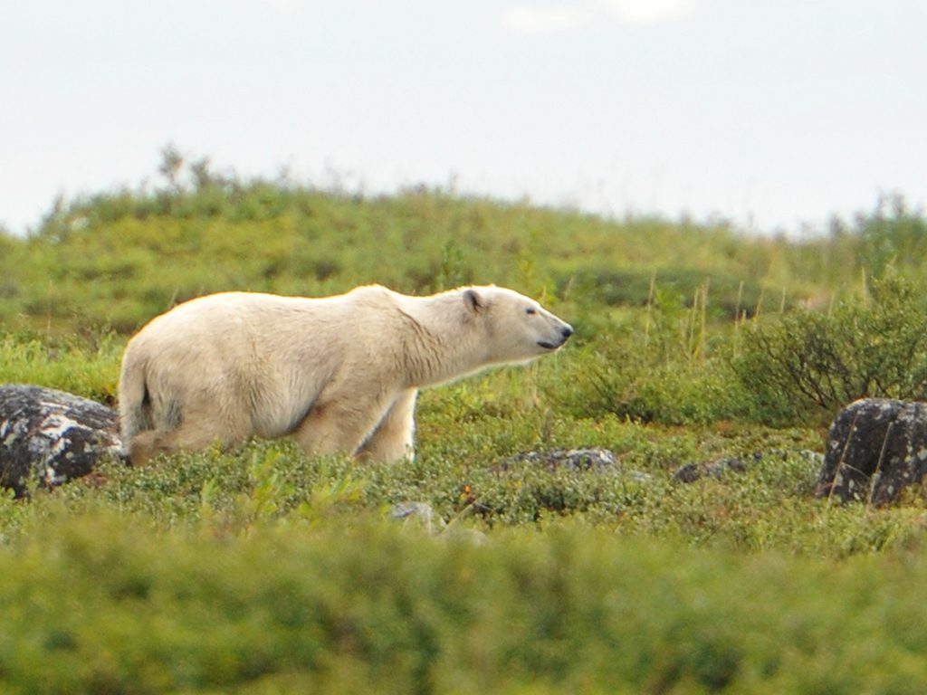
As we walked slowly down the dirt lane behind the grumbling ATV, clutching rocks to throw at any bear which might venture too close and being careful not to be in the path of the shotgun that slung from his shoulder, Terry casually pointed to a polar bear sleeping by a nearby shed and another one ambling about 100 metres ahead on the exposed tundra. We watched in awe for several minutes as the large ivory bear lumbered along, occasionally stopping to look at us before moving on. It was an incredible end to an excellent adventure but more pleasant surprises lay ahead.
We spotted three more polar bears and several beluga whales on the half-hour flight to Churchill and got along so well with Ursula that, by the time she dropped us off at our hotel, the four of us had made plans to paddle across the Churchill River the next day to see beluga whales. We would take the canoes to Sloop Cove on the far shore where the young Hearne and a handful of company men carved their names in the rock on July 1, 1767.
Hearne made history on his third expedition in 1770 with the help of a group of Chipewyans led by Matonabbee and his wives who hauled most of the supplies. When he finally reached the Coppermine River in 1771, Hearne witnessed the slaughter of about 20 Inuit people at Bloody Falls by members of his own party. After the massacre which haunted him for many years after, Hearne followed the river until it reached the Arctic Ocean, discovering no large deposits of the rumoured copper on the Coppermine River and that there was no navigable Northwest Passage that cut through the continent. Hearne made other valuable contributions with his travels, including his meticulous account of the Chipewyan, Dene and Inuit way of life, and as a naturalist, devoting many journal pages to describing the animals of the subarctic.
 His story doesn’t end with his return to Prince of Wales Fort, though. On the Saskatchewan River, Hearne established the HBC’s first inland trading post and five years later he became governor of Prince of Wales Fort, a boondoggle the Hudson’s Bay Company began constructing to protect the fur trade in 1731 that took 40 years to complete. During his time as governor Hearne married the former governor’s part-native daughter. In 1782, he surrendered the fort to the French after an attack in which his men were totally outnumbered, taken prisoner and allowed to sail to England. The following spring, Hearne took the first ship back to Hudson Bay only to learn that his wife had died of starvation and his friend and business partner Matonabbee had committed suicide. Hearne never fully recovered from those tragedies and returned to England where he eventually died of dropsy in 1795 at the age of 47. His journals were published three years later.
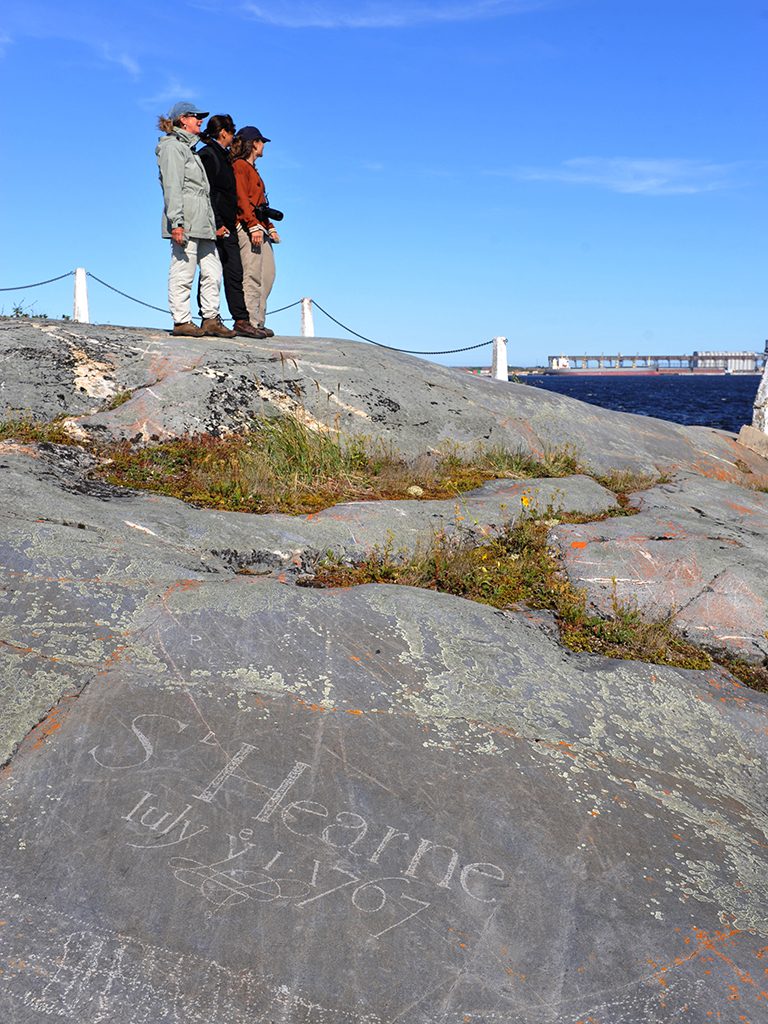 The next day, eager to see where Hearne chiselled his name, we wedged our canoes in the back of Ursula’s company van and headed down the busy main street of Churchill as trucks of all sizes zoomed by. The town was buzzing with activity in the warm weather – residents and contract workers rushed around, getting ready to head out of Churchill by train or plane for the month-long break between tourist seasons. The town of 900 residents has come to rely on visitors from all over the world who come to see polar bears, beluga whales, and get a taste of Arctic life as well as a deep-water port that ships grain hauled in by rail to Europe. In winter, the town virtually shuts down when the shipping route closes, the bears are travelling far out onto the pack ice, and the whales have moved on.
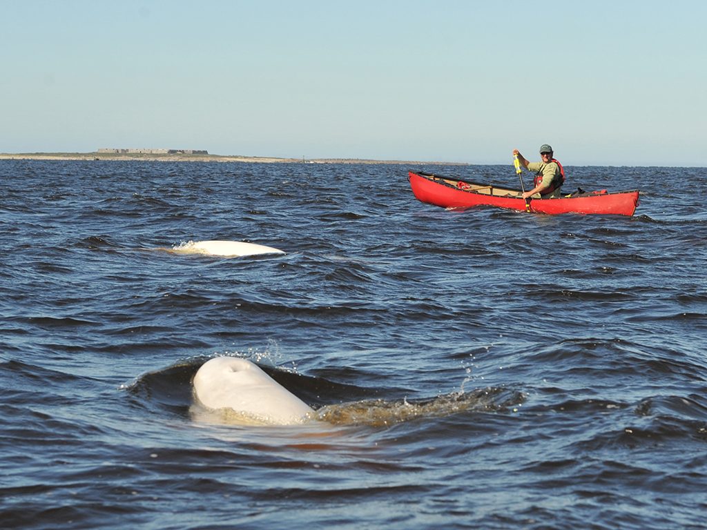
We slipped the canoes into the Churchill River between the worn-out houses along the flats at the edge of town as the waves rolled in with the steady breeze. About 20 metres from shore, the smooth white backs of beluga whales began breaking the water’s surface all around us and we began paddling quicker to make a small wake they would follow. A few of the four-metre long whales began to tag along, following right behind our canoes while others came almost within touch at our sides. We could hear high pitched-sounds coming from the extremely social animals as they swam with us nearly the whole way to Sloop Cove about two kilometres away, occasionally diving playfully beneath the canoes, a couple of times feeling the tail touch the hull, and re-emerging just in front of us.
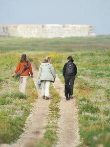
At the cove’s beach, Ursula assembled her ‘Defender’ shotgun and we walked close together to present a bigger “front” in case the polar bear came by that Parks Canada staff warned us about was in the area. We hiked along the fine white sand and over the smooth rock formations and patches of gooseberries, blackberries and heath to the spot where Hearne made his first mark in Canada. Under a clear blue sky, I looked out across the tundra to the walls of Prince of Wales Fort standing a few kilometres north by the mouth of the Churchill River which opens onto Hudson Bay, east across the river to the eccentric little town of Churchill and the marine terminal that towers beside it, and then down to Samuel Hearne’s name, big, bold and well-designed letters that have withstood the test of time for nearly three centuries.
A bottle of wine and four glasses came out and we gave a toast to the wild Seal River, the friendly town of Churchill, and the undying spirit of Samuel Hearne who inspired us to push on when the going got tough. Then a thick fog began to roll in – boisterous and changeable weather, indeed. Bring it on.
Story by Ralph Plath
Photos by Ralph Plath
and Marilyn Mikkelsen
Getting There and back
We chartered a float plane from Thompson, Manitoba to Negassa Lake ($5,180 for all of us).
We used Wings Over Kississing.
– website – www.wingsoverkississing.com
– tel – (1-855-435-9965)
– email: flightbookings@wingsoverkississing.com
We flew with Wings Over Kississing from the Seal River Lodge to fly back to Churchill ($1,600) and took a Via Rail train from Churchill back to Thompson ($230 each person).
