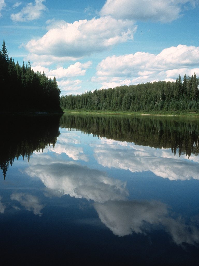
The moment our shuttle driver tells us about a pinned canoe we might spot on one of the rapids, I know we are headed for an interesting trip. Then he adds, “oh, and watch out for a sharp curve in the river when you get past the canal. There’s a nasty chute and no warning sign. If you accidentally go down, it could be big trouble.” My wife, Marilyn, and I look at each other even more intrigued. That was our introductory speech to the Little Abitibi River as we speed down the smoothly graded gravel logging road to the put-in at Pierre Lake, about 80km northeast of Cochrane, Ontario.
Northern Ontario is home to many outstanding wilderness canoe routes, but we are eager to try the Little Abitibi River for its scenic landscape, remoteness, and ease of access; the river is one of the few road-accessible ones in the James Bay area. The plan is to spend six days in mid-summer exploring the river, which begins in Little Abitibi Provincial Park and flows 144km northwest to the Abitibi River about 12km north of Abitibi Canyon dam near the Fraserdale train stop.
The park contains 20,000 hectares of prime Boreal forest, encompassing the land surrounding the Little Abitibi River and the land around New Post, a Hudson Bay trading post built in 1867 on the Abitibi River just south from where the Little Abitibi meets the big one. We’re paddling the same route that Cree and Ojibway native people used to get furs to New Post until it closed in 1920.
The journey first takes us through the clear, blue waters of Pierre Lake, Montreuil Lake and Harris Lake, all popular with local anglers and hunters. As we paddle under the hot afternoon sun, the lakes’ shorelines reveal long stretches of inviting white-sand beaches, gravel bars and sand deposits of eskers, karnes and moraines that were created by the melting waters of an ancient retreating glacier, which also left numerous kettles – deep impressions left in the earth when large blocks of glacial ice broke off. Surrounding us on the sandy soils along the ridges stand patches of white birch, trembling aspen, jack pine and red pine.
All three lakes are fairly shallow and with the area’s rapid changes in weather conditions, we are expecting large waves, which can make paddling difficult and sometimes futile. What we aren’t prepared for is an attack from above. Smack in the middle of Pierre Lake with no land for at least a kilometre and just beginning to settle into our new boreal home, two gulls swoop down and dive at us with an unrelenting viciousness. We grab our paddles and defend ourselves with some deft thrusts and parries to avoid getting a beak in the head. Finally, the gulls relent and leave us to wonder what we had done wrong.
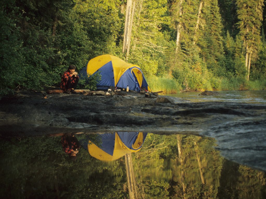
We continue on to Montreuil Lake and stop to camp at Red Pine Point where a stand of magnificent 300-year-old red pines towers above the rest of the forest. Unfortunately, someone has turned the campsite into a garbage dump with rotting fish strewn all over. We pitch our tent on a nearby island where unnamed fellow wilderness lovers who have cleaned up the site have left a note asking others to also show a little respect.
The next day we arrive at the head of the Little Abitibi River, on the north end of Harris Lake, and explore the shore where a traditional native camp once existed. Rumour has it that a native burial ground lies somewhere in the vicinity, but the bush is too dense to explore and we aren’t sure we want to disturb the grounds. Native people used the river to paddle their furs to New Post, a Hudson Bay trading post established on the Abitibi River in 1867. The post operated for the next 53 years and was the only one that existed between Moosonee and Lake Abitibi.
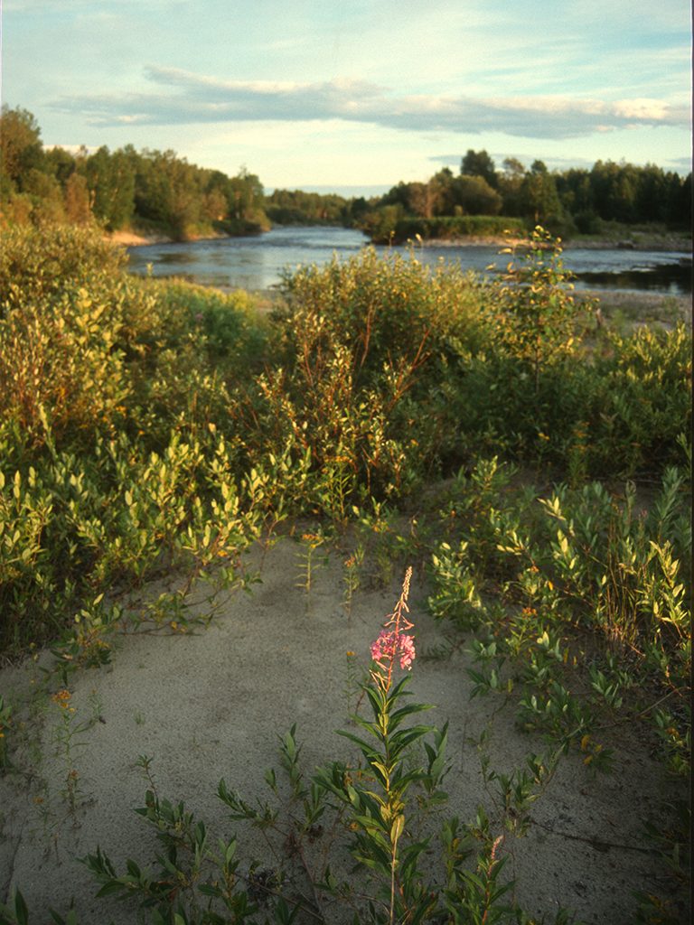 Once on the river we leave all signs of mankind behind. The Little Abitibi narrows enough to clearly see any wildlife on both shores and though we only see a white-tailed deer and a moose, plenty of other animals, including beavers, otters, muskrats, timber wolves, black bears, martens and foxes, live in the forests of black spruce, tamarack and eastern cedar that shelter the clear, slow-moving waters. Birds such as bald eagles, osprey, great blue herons and belted kingfishers, as well as a variety of other waterfowl and songbirds also make their home in the area’s mature boreal forest, which hasn’t been affected by forest fires, diseases or human-related disturbances.
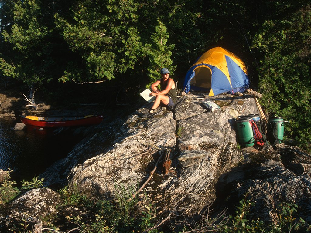
Although the lakes host a number of great campsites, there aren’t many good camping areas along the entire stretch of the river. About 20 kilometres downriver from Harris Lake we finally find an excellent, if small and precarious, camping area on a shoulder of granite overlooking a rock chute strewn with deadfalls, which prevents any lines for running the river. We pitch our tent and huddle inside as sheets of rain and flashes of lightning and thunder hail from a fiery orange sky.
The river continues to slowly meander for another 15km after the chute and then speeds up, growing to a series of three CI rapids, then rushes around a left turn to form a long and particularly fun CII technical rock garden.
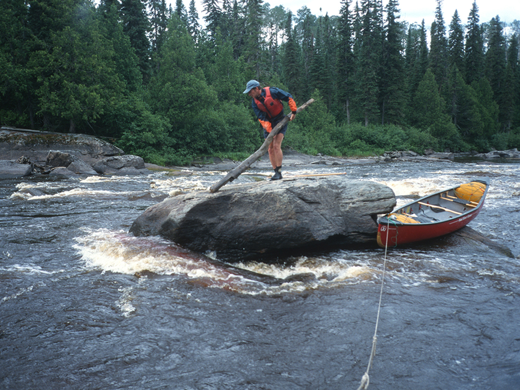
Just around the bend halfway down the rapids we come upon the submerged red Prospector canoe, fully loaded with gear and wrapped around a boulder, rushing whitewater holding it firmly in place. We eddy out above and devise a strategy to free it. Tying a line to the bow of our canoe, Marilyn holds fast and begins lowering me, my paddle and a long log to the boulder the canoe was wrapped around so I can try to pry it free. Suddenly our canoe gets caught in a strong current and the line slips out of Marilyn’s hands sending me broadside into a small, sticky hole. While the log bounces downstream, I quickly gain my balance, surf the canoe and paddle it to shore for another try.
On the second attempt I manage to eddy our boat behind the boulder and jump onto the granite rock carrying another log. Prying up the Prospector and pulling on a line attached to it proves fruitless, though the rushing water seems to loosen its grip occasionally. Next I try using my Buck knife to cut something, anything, from the fully loaded boat to no avail. In no mood to paddle away empty-handed I lay down and inch my way down the rock face to grab hold of a submerged dry bag. I go too far though and begin slipping forward into the whitewater, but I mange to clamber back up. At that point we decide to end the rescue mission – no point getting ourselves in trouble. We paddle down the rest of the rapid in silence, reminded of how quickly a relaxing trip can quickly turn into a nightmare.
The river winds its way for another 25 kilometres without any fast water to break it up. A sense of timelessness comes over us as we paddle further down the corridor of trees lining both sides of the river. Soil erosion has caused some of the trees to teeter over the river bank, horizontally stretched like magic over the water, their roots grasping for the soil.
The slow current comes to a halt at a large reservoir created by the Newpost Creek Diversion Dam where a hunt camp stands on shore and thousands of tree stumps protrude eerily from the still water. On the shore many trees, chunks of soil and rock continue to slide into the river due to erosion caused by the dam, which was built by Ontario Hydro in 1963 to divert water from the Little Abitibi River to the Abitibi River above the Otter Rapids generating station.
Past the dam the Little Abitibi River is too shallow to navigate. Instead, paddlers head down the Newpost Creek through numerous swifts and CI’s along a 10 kilometre stretch.
Trippers must first paddle down two canals, the first, 2km long, which runs from Little Abitibi River to a dried-up Worbec Lake, and the second, nearly 1km long, from there into Newpost Creek. The canals may not be your idea of a true wilderness experience, but Ontario Hydro inadvertently created two long stretches of CI fun and a nice camping area on a large sand beach between the canals. We stay for the night among animal tracks that crisscross the camping area, suggesting it’s a prime site for wildlife viewing though we weren’t lucky enough to spot anything.
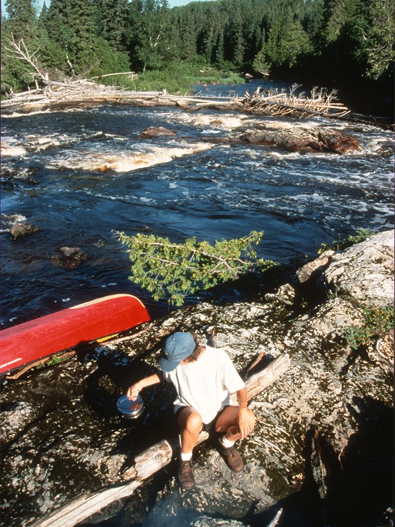
Through the canals and onto the creek we paddle, ready to eddy out in case the unmarked chute the outfitter had warned us about is around the next corner. About halfway down we pass a bridge and, gratefully, see a portage trail sign. We take the trail to have a look and come upon a very large hole at the bottom of a Class IV chute that pours directly into a slightly smaller one, followed by a series of CII’s. If someone inadvertently went down and got into trouble, the only consolation is a lightly used gravel road nearby. In any case, the chutes are a great place to kick back and have lunch and we took advantage of a large flat boulder overlooking the whitewater and ate heartily.
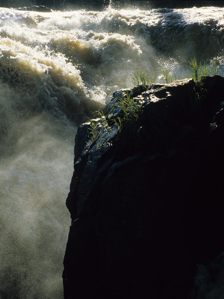 The current pushes on another 15 kilometres through scenery that becomes rockier, somewhat like Canadian Shield country, before the rumble of Newport Falls resonates ahead. We cautiously make our way to the left shore just before a series of CI’s begins, not knowing exactly how far ahead the falls are. With no portage trail to be seen, we slowly paddle downriver and opt to eddy out just before a small ledge. We walk around the corner and look at each other with a huge sigh of relief – another 5m of paddling would have pulled us into a heavy current of ledges, standing waves and boulders, and over the precipice with hardly any chance of getting out. We find the portage trail at the head of the falls with a fallen log blocking its entrance. Before hauling our gear on the rocky shoreline and down the long, wet and poorly maintained trail, we stop to examine exactly where we may have died.
The Newport Falls are breathtaking. The river spills down ledges and through crevices until it plunges 30 metres into a narrow chasm. The river continues to run through a gorge not much wider than two canoes until it gushes out into the last small section of the Little Abitibi River. The few side trails provide some interesting views of the falls, but the best spot to see them remains a huge, flat rock table at the head of the portage trail where you can nearly touch the face of the falls. Some good campsites also sit at the bottom of the trail by a small sand beach.
Another kilometre of paddling and the waters from the Little Abitibi join forces with the mighty Abitibi River where the route turns south and upstream 12 kilometres to the take-out at Abitibi Canyon. The width of the Abitibi is too great to easily spot wildlife and the wind can be quite strong, but you can’t ignore its historical significance. Along the way I imagine steamboats and long, fur-loaded Voyageur canoes making their way up and down the waterway. Not far upstream we notice a sign telling us we have made it to the Hudson Bay’s New Post. The site once consisted of a factor’s residence, a second house, a general trading store and a storehouse, but now only a small graveyard and an overgrown open field remain.
While the days of the fur traders may be over, each year a few modern-day adventurers still make their way down the Little Abitibi through trials and tribulations that hark back to those hardy souls who showed us the way through the solitude of the James Bay Lowlands.
Epilogue
Two weeks after arriving home, I receive a call from the owner of the swamped Propsector. He relates how he and his son had somehow capsized at the head of the boulder. The canoe quickly sank and wrapped around the rock face while they and their two paddling companions watched in horror. With a broken finger, he and his partners made their way in a single canoe to the hunting camp where they borrowed another canoe. They then paddled to the bridge along Newpost Creek and hitched a ride back to safety.
Two months after the mishap, five paddlers from Wisconsin used block and tackle to free the canoe. Water levels were down considerably, but it still took the crew several hours until they were able to tow it to the mouth of Newpost Creek. Shortly after, the canoe’s owner drove up past the Newpost Creek Bridge and attempted to get to his boat by bushwhacking through the forests and marshes, but it was too hard to get to it. Finally, he chartered a float plane and two helpers paddled it back to his awaiting vehicle.
While the canoe suffered a broken seat and yoke, and buckled gunwales, surprisingly, none of the gear, except a map case, two paddles and a fishing rod went missing, and most of the clothing was salvageable after a good washing. Nevertheless, the Little Abitibi left its mark on those paddlers as it does one way or another on everyone who ventures down it.
Story by Ralph Plath
Photos by Ralph Plath
and Marilyn Mikkelsen
Getting there and Back
Access: Cochrane, Ontario, is located on Highway 11 northwest of North Bay. Access to the river is 90km northeast of Cochrane on Highway 652 (Detour Lake Highway) to the Chin River bridge northwest to Pierre Lake, or via Abitibi Camp 34 road and portage trail to Zinger Lake (Little Abitibi Provincial Park).
Maps: Four maps are required to cover the Little Abitibi River. Canadian 1:250,000 scale maps include 42 H/7, 42 H/10, 42 H/11 (optional), 42 H/14, and 42 H/13.
Guided trips, outfitting and shuttles:
Howling Wolf Expeditions:
– http://www.howlingwolfexpeditions.com
– email – rick.isaacson@hotmail.com
– tel. – 1-705-338-2588 and ask for Rick
Air shuttles can be arranged by Cochrane Air Services:
– website –www.aircochrane.com
– tel. – 1-888-234-8882
Ontario Northland trains will transport canoes and equipment south to Cochrane at Fraserdale, 5km west of the take-out at Abitibi Canyon.
– website – http://www.ontarionorthland.ca
– tel. – 1-800-363-7512
Further reading:
Information on the Little Abitibi River can be obtained from the Cochrane area office of the Ontario Ministry of Natural Resources:
– website – www.mnr.gov.on.ca
– tel. – (705) 272-4365;
